Hatteras Island
Seven villages lie along NC 12 south of Oregon Inlet. The lighthouse is in Buxton, the ferry leaves from Hatteras village, and the stretches of sand between them add up. For a first outing, pick a northern refuge day or a southern lighthouse-and-harbour day.
Birds and lifesaving on the northern stretch
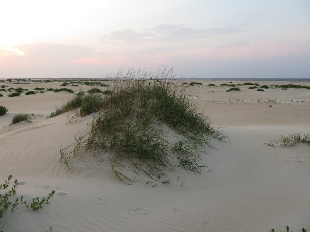
The refuge visitor centre and parking reopened November 6 after sand clearing and repairs. After the inlet crossing, pull in at Pea Island’s visitor centre and take the North Pond Wildlife Trail. Observation platforms allow you to make a short outing of the first stretch. Bring binoculars and use the dike path during daylight. Drifting sand can cover the boardwalk entrance, and dogs cannot join you on this trail.
Continue to Rodanthe for the Chicamacomico Life-Saving Station when it is open. Its equipment gives a human scale to a shore often described solely in terms of shipwrecks. Salvo Day Use Area makes a simple picnic stop on the sound. If road conditions deteriorate, shorten the drive at the refuge or postpone the excursion.
Buxton to the ferry landing
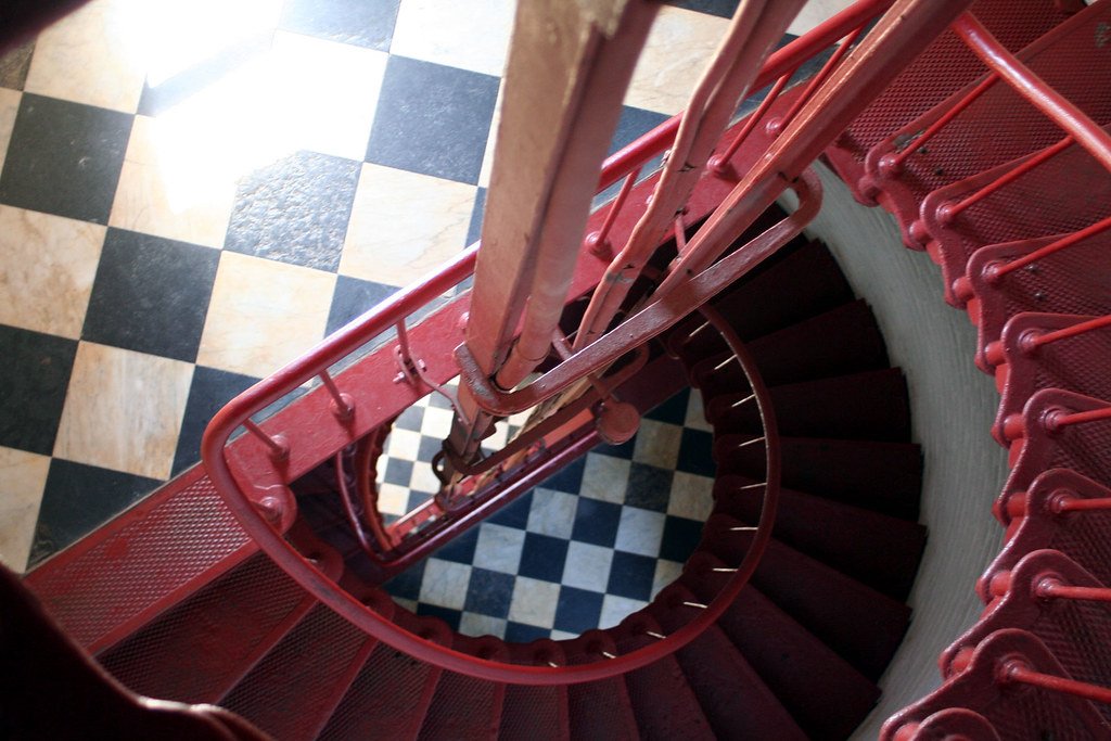
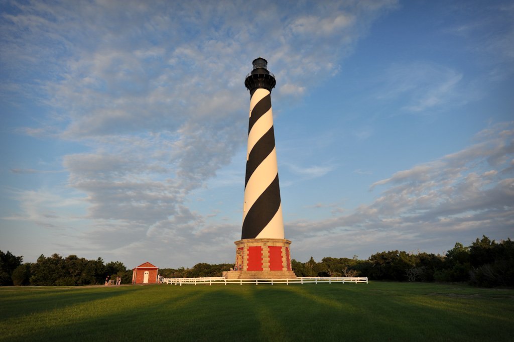
Start in Buxton with the Cape Hatteras light station. The 2026 restoration closes the tower to climbs. Plan for the grounds and the history of moving a lighthouse away from an eroding shore. For time on foot, choose a signed maritime-forest route in Buxton Woods or use the public access to Frisco Beach farther south. For the reserve, take the Water Association Road approach in a two-wheel-drive car.
In Hatteras village, the Graveyard of the Atlantic Museum sits near the ferry landing. Pick its open hours before adding a meal at Hatteras Sol. The Hatteras-style chowder uses broth, bacon and vegetables. If Ocracoke follows, check the crossing that evening and spend the night near the ferry or on the island itself.